
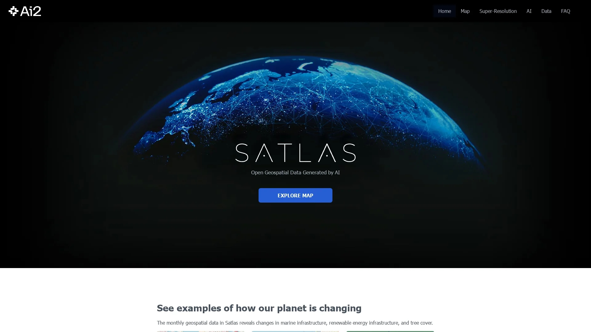
Satlas
SATLAS by the Allen Institute is an AI tool that enhances satellite imagery with super-resolution, enabling detailed geospatial data exploration and analysis at a global scale.
Disclaimer: Visionary Hub is not affiliated with, endorsed by, or the operator of this tool. All trademarks, logos, and content are the property of their respective owners. Full disclaimer available here
Key Features
Super-Resolution
Transforms low-res satellite images into high-res visuals for better clarity.
AI Models
Leverages state-of-the-art computer vision algorithms for image enhancement.
Geospatial Data
Access to extensive geospatial datasets for analysis and research.
Offline Access
Allows downloading AI-generated datasets for offline use and study.
Get Started
Share & Save
Share on Social Media
Why Choose Satlas
Super-Resolution:
Enhances low-resolution satellite images to high-resolution for detailed analysis.AI Models:
Utilizes AI models trained on large-scale remote sensing datasets.Public Data:
Provides freely available AI-generated geospatial datasets for download.
About Satlas
SATLAS by the Allen Institute is an AI tool that enhances satellite imagery with super-resolution, enabling detailed geospatial data exploration and analysis at a global scale.
What Satlas Does
SATLAS enhances low-resolution satellite imagery by applying super-resolution techniques, enabling users to explore detailed geospatial data globally. This improves the clarity and usability of satellite images for analysis.
The tool employs advanced computer vision algorithms and AI models trained on large remote sensing datasets, including the Satlaspretrain dataset. It provides access to AI-generated geospatial datasets for download and offline analysis.
Users such as geospatial analysts, cartographers, and spatial planners utilize SATLAS to detect land use changes, discover patterns in satellite imagery, and identify areas of interest for research and planning.
Pros & Cons
High Detail
Produces high-resolution images improving geospatial data quality.
Open Data
Offers publicly accessible AI-generated geospatial datasets.
No Signup
No visible user registration or signup option available.
Limited Pricing Info
Pricing details are not publicly provided or accessible.
Frequently Asked Questions
SATLAS enhances satellite imagery for geospatial data analysis and pattern discovery.
No registration or signup option is currently available on the homepage.
Yes, AI-generated geospatial datasets are freely available for download.
It uses advanced computer vision and AI models trained on remote sensing data.
Users can download datasets for offline analysis and research.
Similar Tools You Might Like
Discover more AI-powered tools that complement your workflow
List Your AI Tool & Reach Thousands of Users
Join 500+ AI innovators already thriving on our platform. Get visibility, feedback, and boost your conversions.
Expand Your Audience
Connect with over 50,000 AI enthusiasts actively looking for tools like yours.
Boost Your Authority
Get verified reviews and ratings to build credibility in the AI marketplace.
Drive Conversions
Our premium placements and targeted audience deliver quality leads and sign-ups.