
Picarta
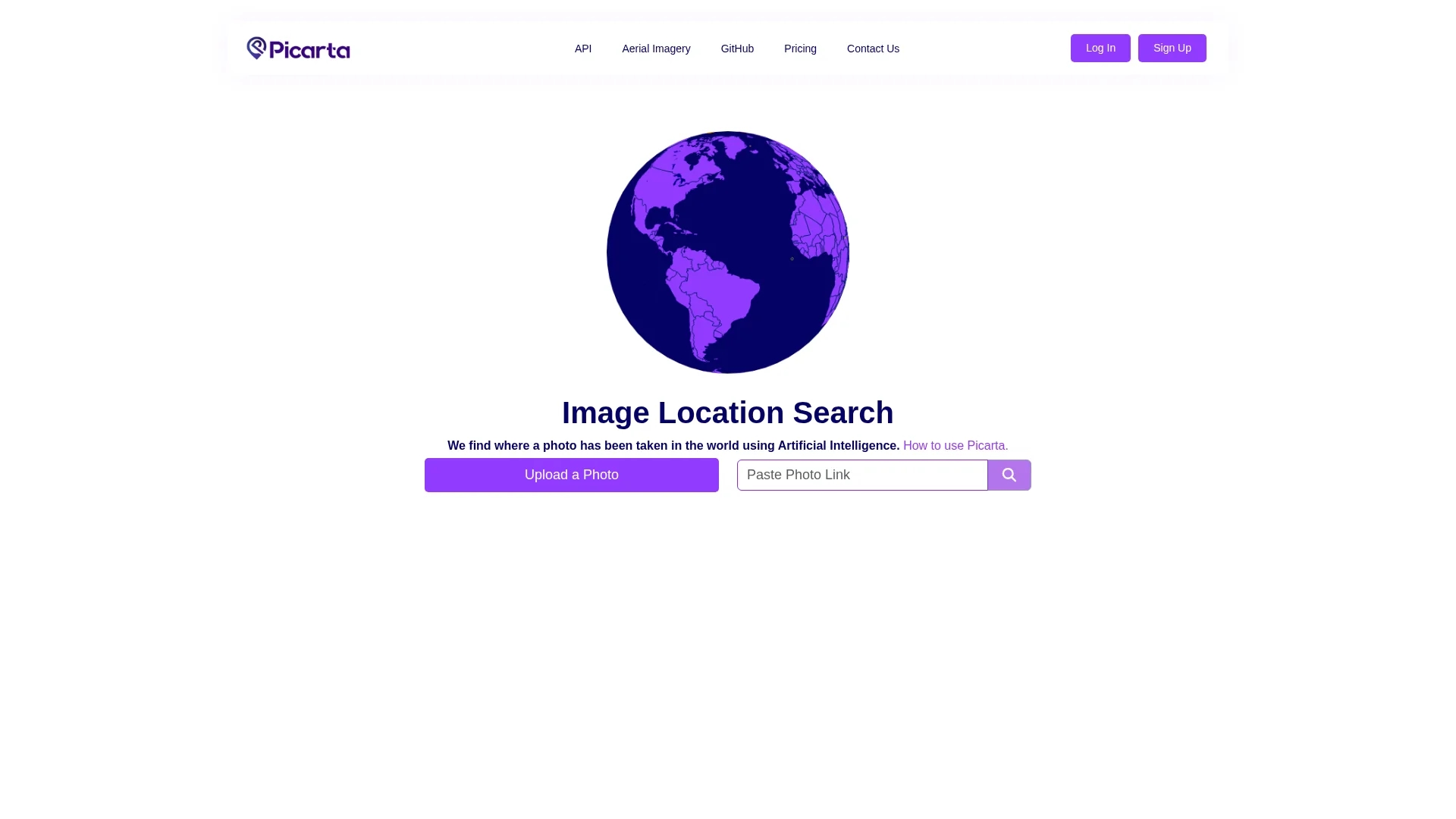
Picarta uses AI to geolocalize images by analyzing metadata like latitude and longitude, integrating Google Maps for detailed location insights and fostering community collaboration via Discord.
Disclaimer: Visionary Hub is not affiliated with, endorsed by, or the operator of this tool. All trademarks, logos, and content are the property of their respective owners. Full disclaimer available here
Key Features
Image Geolocalization
Determines photo locations by analyzing embedded metadata.
Metadata Analysis
Processes latitude, longitude, and timestamps for accurate results.
Google Maps Integration
Offers directions and detailed location insights within the platform.
Community Feedback System
Allows users to share feedback and collaborate via Discord.
Get Started
Share & Save
Share on Social Media
Why Choose Picarta
Accurate Geolocation:
Uses AI to precisely analyze photo metadata for reliable location identification.Google Maps Integration:
Provides detailed directions and location context through seamless map integration.Community Feedback:
Engages users via Discord for collaborative insights and shared knowledge.
Pricing
Picarta offers multiple pricing plans including a Free plan, Wallet plan at 9.9€, and a monthly Buy quota subscription at 49.9€. Enterprise plans are available upon contact. Pricing details are subject to change; visit the official pricing page for updates.
About Picarta
Picarta uses AI to geolocalize images by analyzing metadata like latitude and longitude, integrating Google Maps for detailed location insights and fostering community collaboration via Discord.
What Picarta Does
Picarta enables users to upload photos and accurately determine their original geographic locations by analyzing embedded metadata like latitude, longitude, and timestamps. This helps users verify and document photo origins effectively.
The tool uses advanced AI algorithms to process image metadata and integrates seamlessly with Google Maps to provide detailed directions and location context. It also supports a community feedback system via Discord to enhance collaborative insights.
Picarta is useful for travelers documenting journeys, researchers analyzing environmental changes, and real estate professionals geolocalizing property images for marketing purposes.
Pros & Cons
Precise Location Data
Delivers accurate geolocation using advanced AI and metadata analysis.
Collaborative Platform
Supports community engagement for enhanced data validation and sharing.
Limited to Metadata
Accuracy depends on availability and quality of photo metadata.
Subscription Required
Full access to detailed results requires account registration and paid plans.
Frequently Asked Questions
Picarta analyzes latitude, longitude, timestamps, and camera details embedded in photos.
Yes, Picarta offers a Free plan and paid subscriptions including Wallet and Enterprise plans.
Basic uploads are possible, but full detailed results require login and subscription.
Picarta integrates specifically with Google Maps for location directions and insights.
Users can join Picarta’s Discord community or contact support via the website.
Similar Tools You Might Like
Discover more AI-powered tools that complement your workflow

List Your AI Tool & Reach Thousands of Users
Join 500+ AI innovators already thriving on our platform. Get visibility, feedback, and boost your conversions.
Expand Your Audience
Connect with over 50,000 AI enthusiasts actively looking for tools like yours.
Boost Your Authority
Get verified reviews and ratings to build credibility in the AI marketplace.
Drive Conversions
Our premium placements and targeted audience deliver quality leads and sign-ups.