
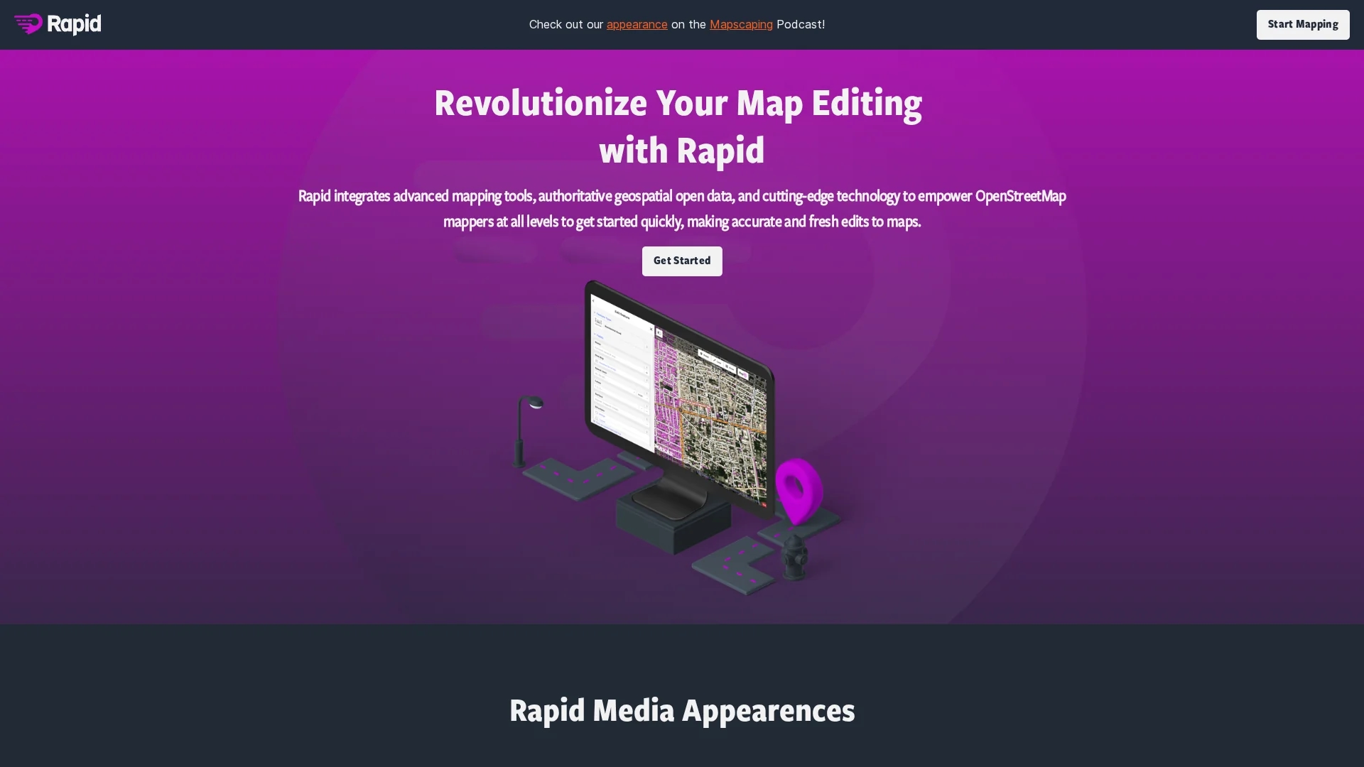
Mapwith.ai
Rapid Editor Mastodon offers advanced AI-powered mapping tools and geospatial open data to enable efficient, accurate map editing for humanitarian and community projects worldwide.
Disclaimer: Visionary Hub is not affiliated with, endorsed by, or the operator of this tool. All trademarks, logos, and content are the property of their respective owners. Full disclaimer available here
Key Features
Advanced Mapping
Provides sophisticated tools for detailed and accurate map editing.
Open Data Integration
Incorporates geospatial open data to enhance map detail and reliability.
Automatic Geometry
Automatically draws map geometry to speed up the editing process.
Satellite Analysis
Uses AI to analyze satellite imagery for identifying unmapped areas.
Get Started
Share & Save
Share on Social Media
Why Choose Mapwith.ai
AI Integration:
Leverages AI to automate map geometry and analyze satellite imagery for accuracy.Open Data:
Utilizes geospatial open data to enrich mapping information and predictions.User-Friendly:
Features an intuitive interface suitable for mappers at all experience levels.
Pricing
For current prices, visit the official page.
About Mapwith.ai
Rapid Editor Mastodon offers advanced AI-powered mapping tools and geospatial open data to enable efficient, accurate map editing for humanitarian and community projects worldwide.
What Mapwith.ai Does
Rapid Editor Mastodon facilitates precise map editing by automatically drawing map geometry and integrating geospatial open data, saving users significant time and effort.
It uses AI to analyze satellite imagery, providing a high-level overview of unmapped areas to guide users in making accurate and up-to-date edits. The tool’s intuitive interface ensures accessibility for mappers of all skill levels.
Common applications include urban planning, GIS data enhancement, disaster response mapping, and community development projects worldwide.
Pros & Cons
Efficiency
Reduces manual mapping time through automation and AI assistance.
Accessibility
Intuitive design makes it usable by both novice and expert mappers.
Pricing Info
No detailed pricing information publicly available.
Developer Details
Limited information about the developer or company is provided.
Frequently Asked Questions
It offers automatic map geometry drawing, AI satellite imagery analysis, and open data integration.
Specific pricing details are not provided; check the official website for updates.
GIS specialists, community organizers, data analysts, and mapping engineers benefit from it.
Yes, it is designed to support humanitarian and community mapping initiatives globally.
Yes, its intuitive interface makes it accessible for users of all skill levels.
Similar Tools You Might Like
Discover more AI-powered tools that complement your workflow
List Your AI Tool & Reach Thousands of Users
Join 500+ AI innovators already thriving on our platform. Get visibility, feedback, and boost your conversions.
Expand Your Audience
Connect with over 50,000 AI enthusiasts actively looking for tools like yours.
Boost Your Authority
Get verified reviews and ratings to build credibility in the AI marketplace.
Drive Conversions
Our premium placements and targeted audience deliver quality leads and sign-ups.