
Cybertiks
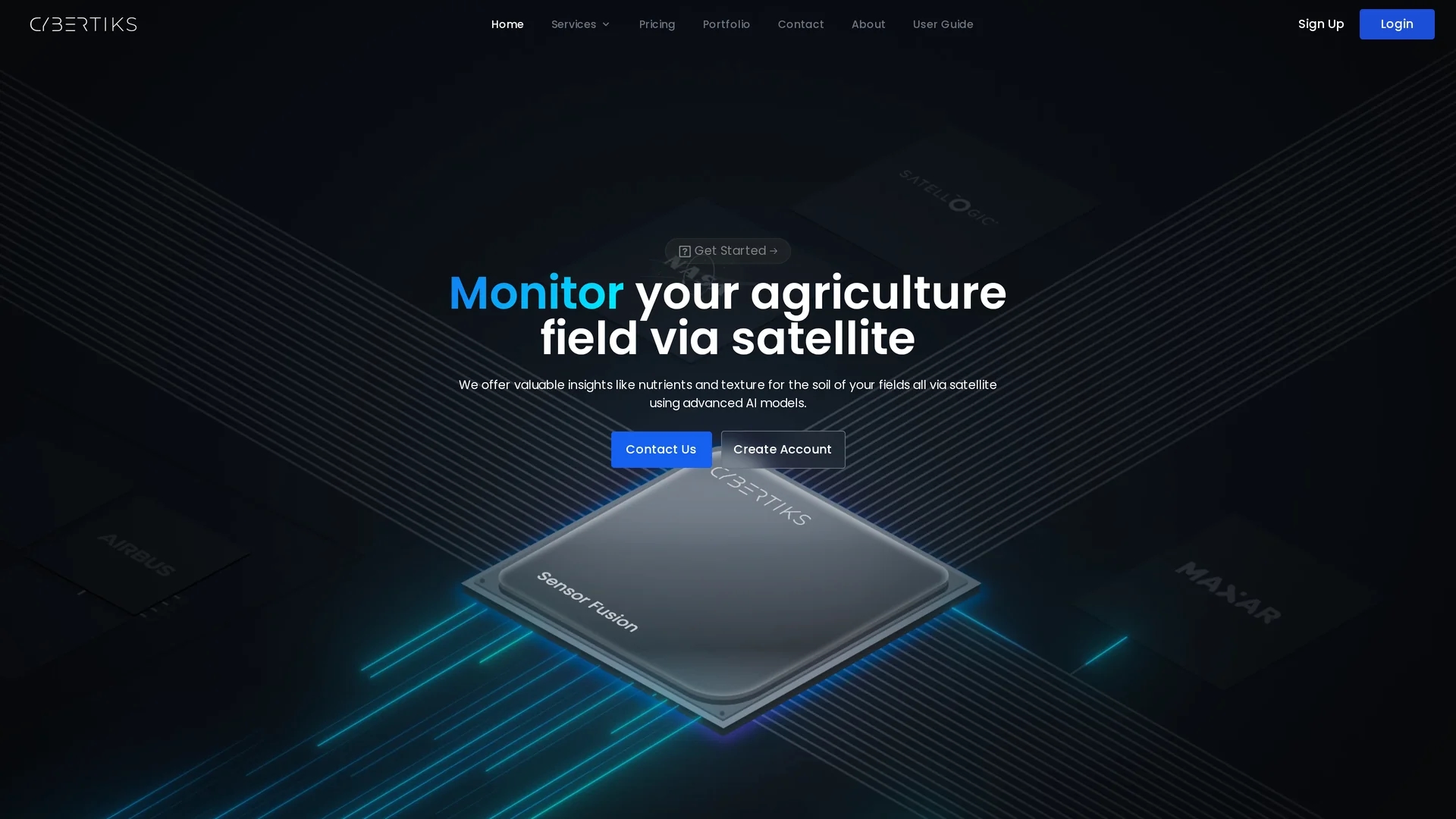
Cybertiks leverages AI and satellite imagery to provide precise agricultural analysis, including soil health, nutrient levels, and carbon capture metrics for sustainable farming.
Disclaimer: Visionary Hub is not affiliated with, endorsed by, or the operator of this tool. All trademarks, logos, and content are the property of their respective owners. Full disclaimer available here
Key Features
Satellite Imagery
Uses satellite data for remote soil and field monitoring.
AI Analysis
Advanced AI models analyze nutrient levels and soil texture.
Mineral Detection
Identifies and quantifies minerals using spectral signatures.
Sensor Fusion
Combines optical, radar, and other sensor data for accuracy.
Get Started
Share & Save
Share on Social Media
Why Choose Cybertiks
High Accuracy:
AI models deliver over 80% accuracy in soil and nutrient analysis.Comprehensive Data:
Integrates multiple sensor data sources for strategic field insights.Regular Updates:
Provides field status and analysis updates every seven days.
Pricing
Pricing details are available upon request. Visit the pricing page for more information and contact options.
About Cybertiks
Cybertiks leverages AI and satellite imagery to provide precise agricultural analysis, including soil health, nutrient levels, and carbon capture metrics for sustainable farming.
What Cybertiks Does
Cybertiks remotely monitors agricultural fields using satellite imagery and AI to analyze soil health, nutrient levels, and carbon capture metrics, helping users optimize field management.
It employs advanced AI models trained on thousands of fields, integrating multiple data sources through sensor fusion to provide accurate, up-to-date insights every seven days. The QSIS tool classifies and quantifies natural resources using thermodynamic data from electromagnetic sensors.
Industries such as agriculture, mining, oil and gas, and construction benefit from Cybertiks' precise field monitoring, historical data visualization, and mineral detection capabilities.
Pros & Cons
Remote Monitoring
Enables field analysis without physical presence.
Industry Versatility
Supports agriculture, mining, construction, and environmental sectors.
Pricing Transparency
Pricing requires direct contact; no public pricing details.
Internet Required
Relies on satellite data and online access for updates.
Frequently Asked Questions
Cybertiks serves agriculture, mining, oil and gas, construction, and environmental agencies worldwide.
It integrates optical, radar, and various sensor data for comprehensive analysis.
QSIS uses thermodynamic data and quantum AI to classify and quantify natural resources and minerals.
Field status and analysis results are updated every seven days.
Yes, users can sign up at https://cybertiks.com/signup to start monitoring fields.
Similar Tools You Might Like
Discover more AI-powered tools that complement your workflow
List Your AI Tool & Reach Thousands of Users
Join 500+ AI innovators already thriving on our platform. Get visibility, feedback, and boost your conversions.
Expand Your Audience
Connect with over 50,000 AI enthusiasts actively looking for tools like yours.
Boost Your Authority
Get verified reviews and ratings to build credibility in the AI marketplace.
Drive Conversions
Our premium placements and targeted audience deliver quality leads and sign-ups.