
Flypix
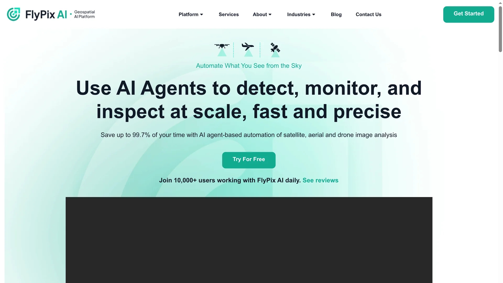
Flypix offers AI-driven geospatial solutions for precise object detection and analysis of satellite and aerial images, enhancing efficiency in construction, agriculture, and renewable energy sectors.
Disclaimer: Visionary Hub is not affiliated with, endorsed by, or the operator of this tool. All trademarks, logos, and content are the property of their respective owners. Full disclaimer available here
Key Features
AI Object Detection
Automatically identifies and outlines objects in geospatial images.
Custom Model Training
Train AI models tailored to specific user needs without coding.
Analytics Dashboard
Provides visual insights and data export capabilities.
Multispectral Data
Supports analysis of diverse spectral image data types.
Get Started
Share & Save
Share on Social Media
Why Choose Flypix
Time Savings:
Reduces manual annotation time from minutes to seconds.Custom Models:
Enables AI model training without programming skills.Multispectral Support:
Handles complex multispectral geospatial data efficiently.
Pricing
Flypix offers multiple plans: Basic (Free, 1 user, 3GB storage), Starter (€50/month, 1 user), Standard (€500/month, 2 users), and Professional (€2000/month, 5 users). Annual billing includes a 10% discount. Details at https://flypix.ai/pricing/.
About Flypix
Flypix offers AI-driven geospatial solutions for precise object detection and analysis of satellite and aerial images, enhancing efficiency in construction, agriculture, and renewable energy sectors.
What Flypix Does
Flypix automates the detection, monitoring, and inspection of objects in geospatial images, saving users significant time and improving accuracy. It benefits industries requiring precise spatial data analysis.
The platform features advanced AI object detection, supports multispectral data, and offers custom AI model training through an interactive sandbox interface without coding. Users access analytical dashboards and export vector layers for further use.
Industries such as agriculture use Flypix for crop health and yield prediction, construction for site monitoring, and renewable energy for wind turbine placement analysis.
Pros & Cons
Efficiency
Significantly accelerates geospatial image analysis workflows.
User-Friendly
Interactive sandbox simplifies AI model training for non-experts.
Limited Support
Basic plans offer limited customer support options.
Pricing Scale
Higher-tier plans may be costly for small teams.
Frequently Asked Questions
Flypix serves construction, agriculture, renewable energy, and other geospatial analysis sectors.
Yes, Flypix offers a Basic free plan with limited storage and features.
Yes, Flypix provides an interactive sandbox for custom AI model training without programming.
Flypix supports satellite, aerial, drone, and multispectral geospatial image data.
Support varies by plan, ranging from limited email support to chat and faster response times.
Similar Tools You Might Like
Discover more AI-powered tools that complement your workflow
List Your AI Tool & Reach Thousands of Users
Join 500+ AI innovators already thriving on our platform. Get visibility, feedback, and boost your conversions.
Expand Your Audience
Connect with over 50,000 AI enthusiasts actively looking for tools like yours.
Boost Your Authority
Get verified reviews and ratings to build credibility in the AI marketplace.
Drive Conversions
Our premium placements and targeted audience deliver quality leads and sign-ups.